Astore Valley Tour 6 Nights

7 Days

Astore is one of the 10 districts of Gilgit Baltistan. Leaving Karakorum Highway near Thalichi and crossing Indus River, a 41 k.m long road winds through rough rocky mountains and takes us to Astore town, which is the capital of Astore district. Astore district is bordered by Diamar district on West, Gilgit district on North, Kashmir East & Skardu on North East.

Historically this route was a famous route between the Central Asian traders & preachers to Kashmir. Before the advent of Islam in this region this route was also used by the Buddhist missionaries who brought Buddhism in China, Japan & Korea.

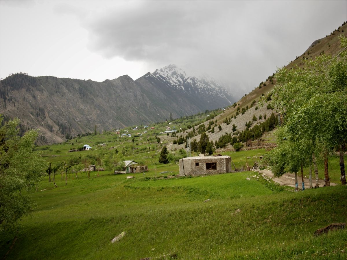
The Astore valley has an area of 5,092 km² and an altitude of 2,600 metres (8,500 ft). The valley has an approximately 250 square kilometres (97 sq mi) of glacier cover. Nangaparbat mountain covers the western side of the valley . Peaks of Nangaparbat are visible from Rama Meadows, Rama Lake, Tarishing & Rupal. There are many treks around Nangaparbat, from easy to strenuous level  leading including Mazeno Pass (17,579 feet). Mountaineering expeditions of Nangaparbat use this route, to climb from Rupal face.

Beside trekking options there are many other options available for the leisure travelers and they can visit Harcho Waterfall, Rama Lake, Rama Meadows, Tarishing & Deosai Plains. Tourists who will have permission from the Pak Army, can Minimurg. Minimurg is one of the most beautiful valley of Pakistan, which can rightly be said the Heaven on the Earth.

Overview

Places to cover
Astore, Rama Meadows, Rama Lake, Tarishing Valley, Nanga Parbat Rupal (Herrligkoffer) Base Camp, Deosai.
____________________________________
About Rupal (Herrligkoffer) Base Camp:
The trek commonly called “Around Nanga Parbat” does not actually go all the way ‘around’ Nanga Parbat. Instead it goes halfway around Nanga Parbat, beginning on the south side of Nanga Parbat from Tarashing in the Rupal Valley. The route heads west up the Rupal Valley, and turns north to cross the Mazeno La to Fairy Meadows.
Nanga Parbat (8125 m), the western most peak of the Great Himalayan range, is one of five 8000 m peaks in Pakistan. This 20 km long series of peaks and ridges forms a huge massif. Its solitary white appearance, visible from the south for at least 100 km, prompted the name Nanga Parbat, which means “The Naked Mountain.” It is also known as the “Killer Mountain”, because of the difficulties of reaching the summit. The first ascent was an almost miraculous solo ascent without oxygen in 1953 by the German Herman Buhl. Its sheer south face, called the Rupal face, rises over 5000 m from the valley floor to the summit and offers trekkers breathtaking close-up views. The north Raikot face plunges over 7000 m from the summit to the Indus River, forming one of the world’s deepest, dramatic gorges.
The Rupal Valley, on the south side of Nanga Parbat, is accessed via the Astor Valley, which leaves the KKH at Jaglot 60 Km south of Gilgit. Short, easy treks in the Rupal Valley offer incredible views. Astor Valley residents are mostly Sunni Muslims with 25% Shia Muslims, who mostly live along the upper tributaries. Shia is the main language, with Urdu a second language for men. Few villagers know any English.

You can send your enquiry via the form below.

Astore Valley Tour 6 Nights
From USD27,800
/ Adult